User manual
-
Key areas of Digimap for Schools
-
About the maps
-
Navigating in Digimap for Schools
-
Search
-
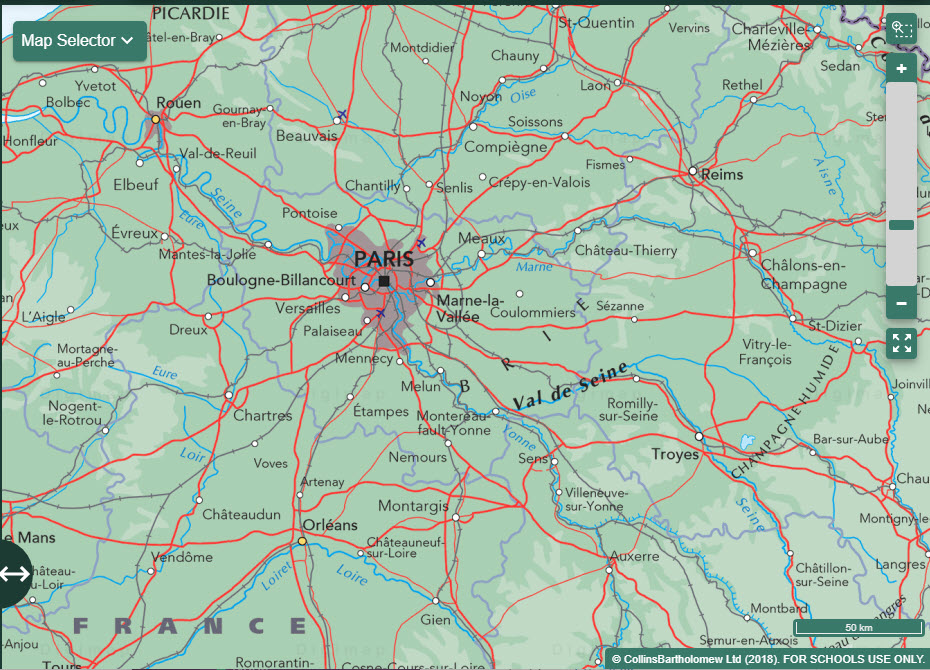
Map selector
-
View the compass
-
Save maps
- Drawing Tools
-
View Geograph images
-
View map keys
-
Overlays
-
Measure distance and areas
-
Capture geographic coordinates
-
Add your own data
-
Print maps
-
Map information
-
Edit your preferences
-
Tips and tricks
-
Try it out!
Key areas of Digimap for Schools
There are three key areas of Digimap for Schools.
Map window
The map window is the largest area in Digimap for Schools, where you:
- View maps
- Select different maps
- Zoom in and out
- Pan around
Top toolbar
Above the map window, on the top toolbar you will find:
- Search
- Locate my position tool
- Print tool
- Aerial imagery information tool
- Start again

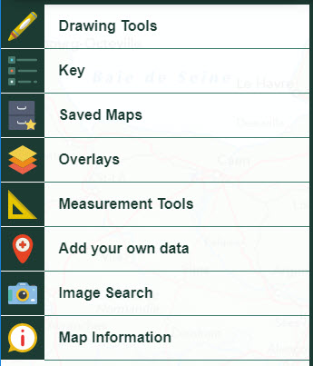
Sidebar
On the left of the map window, the sidebar has lots of tools:
- Drawing tools
- Key
- Saved maps
- Overlays
- Measurement tools
- Add your own data tool
- Geograph image search
- Map information