User manual
Measure distance and areas
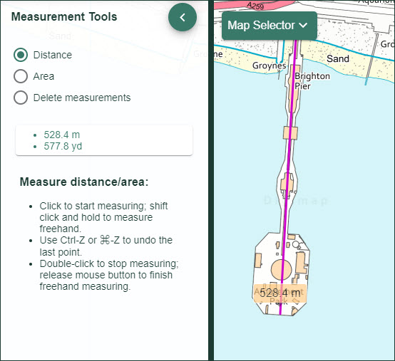
Distance
- Open the Measurement Tools menu in the sidebar.
- Select the measure distance button.
- Click or tap once on the map, at the point where you want to start measuring.
- Click or tap at the next point of your line.
- Continue adding points until you reach your last point.
- Double click or double tap to end your line.
- Your distance is displayed in the map window and in the measurement tools menu.
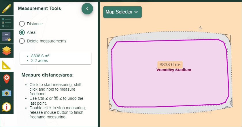
Area
- Open the Measurement Tools menu in the sidebar.
- Select the measure area button.
- Click or tap once on the map to place the first point of the area you wish to measure.
- Now move round the area, clicking or tapping to create each point.
- Double click or tap at the last point.
- The total area will be displayed in the map window and in the Measurement Tools menu.